A walk with labels
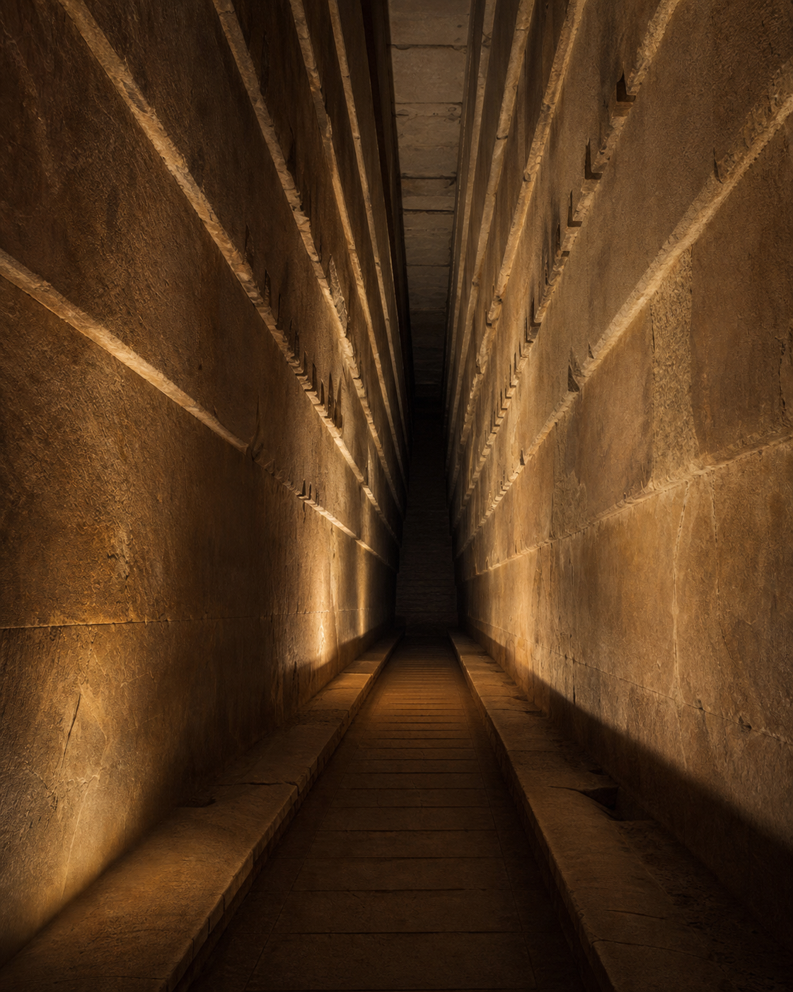
At the north face, the trip begins with a choice: walk freely, take a guided visit, or follow an evidence expedition. The route moves from the plateau through the entrance, passages, Grand Gallery, and King's Chamber. A Field Notebook and Evidence Lens keep the claims close to the places they describe.
The exhibit does not treat every empty space as the same kind of fact. It separates measured rooms from scan observations and from the deeper SAR proposal, so a striking visual does not quietly become a historical claim.
What you can explore
- Walk a connected route from the Giza Plateau to the King's Chamber.
- Follow twelve sourced evidence records with a persistent Field Notebook.
- Switch between the present plateau and an interpretive heyday landscape.
- Use the Evidence Lens, map, guided visit, free roam, and Grand Tour modes.
- Open the acoustic tool as a geometry lesson, with its limits stated in the exhibit.
Four kinds of claim
Documented
Measured passages, chambers, masonry, and monument dimensions form the main walkable route.
Scan-derived
Muon-detected spaces, including the Big Void and north-face corridor, appear in their own evidence lane.
Disputed
The deeper SAR sequence is a labeled exhibit interpretation. Visitors can explore it without mistaking it for verified archaeology.
Source trail
The playable route carries a local register of its evidence records and sources. The overview points to the same material so the experience can be checked outside the scene.
Build notes
Advisory Hour · July 25, 2026
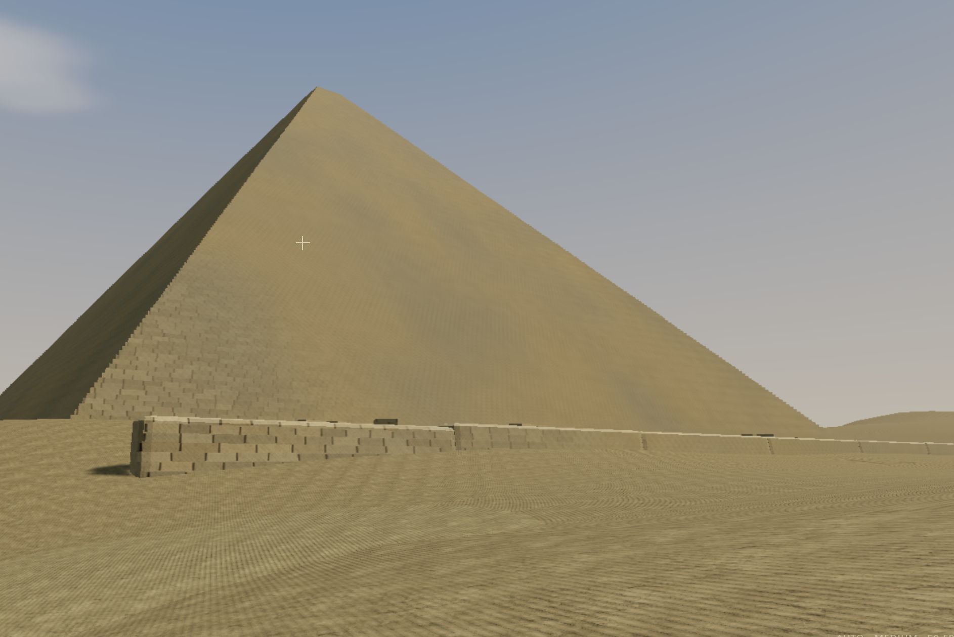
Khufu Between Credit Resets
A first public glimpse of the Great Pyramid reconstruction while the browser exhibit was still taking shape.
Read the field note →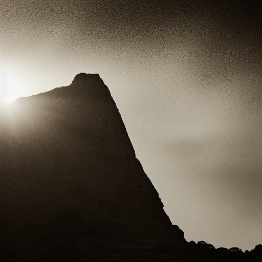
Advisory Hour · August 2, 2026
Imagined Places for the Khufu Exhibit
Four concept images test possible places and visual directions around the browser exhibit.
Read the field note →Khufu ships as a static browser experience with local Three.js r185 modules, local assets, and no required runtime CDN. The packaged build record lists 162 files and their hashes.
Related builds
MMS4 Ephemeris Lens turns mission data into a guided science exhibit. Arcadia builds a walkable archive for public experiments. Island V3: Storm Signal uses a living Three.js world to make repairs, weather, and people visible together.