Walk
Move across the plateau and through passages.
Beneath the Stone
Walk the Giza Plateau, enter a scale-led Great Pyramid, and descend into a disputed scan reconstruction.
The deep SAR spaces are disputed interpretations. Documented Khufu chambers remain unpainted.
Move across the plateau and through passages.
Click the scene to use first-person view.
Move faster outdoors. Tight corridors slow you.
Cross small gaps where headroom permits.
Open the nearby evidence record.
Reveal sourced investigation markers.
Review findings, confidence, and sources.
Hold near a marked block route to latch on.
Open map, comfort settings, and sources.
Low passages automatically lower your 1.68 m eye line. Touch controls appear on mobile.
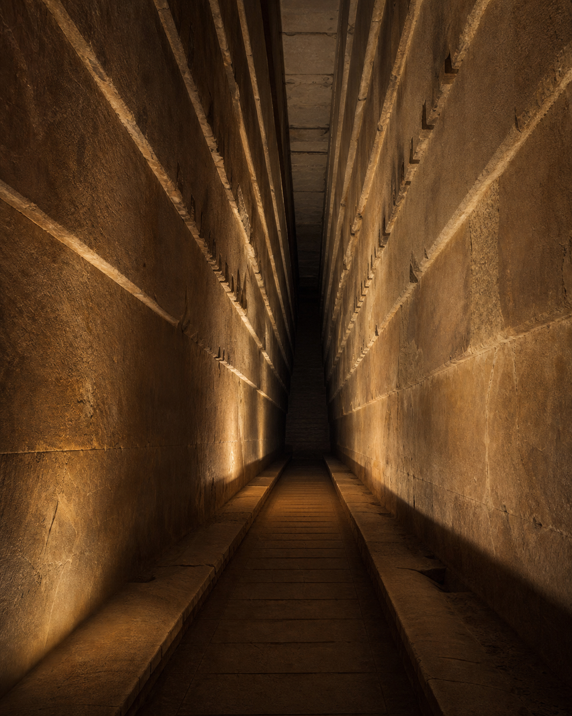
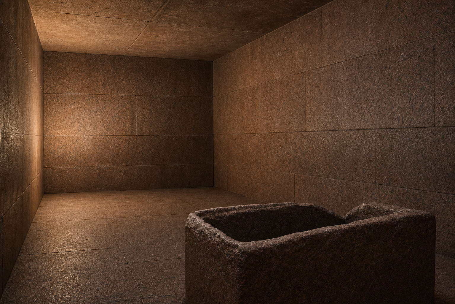
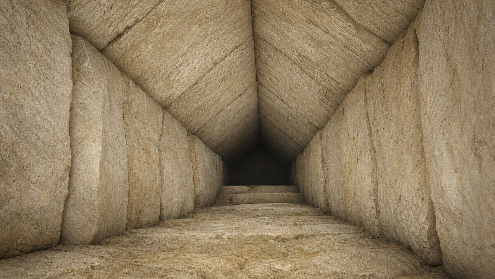
Documented architecture anchors the visit. The historical landscape is an evidence-led Nile floodplain mosaic. Muon scans reveal real density anomalies; the deeper SAR descent remains explicitly disputed.
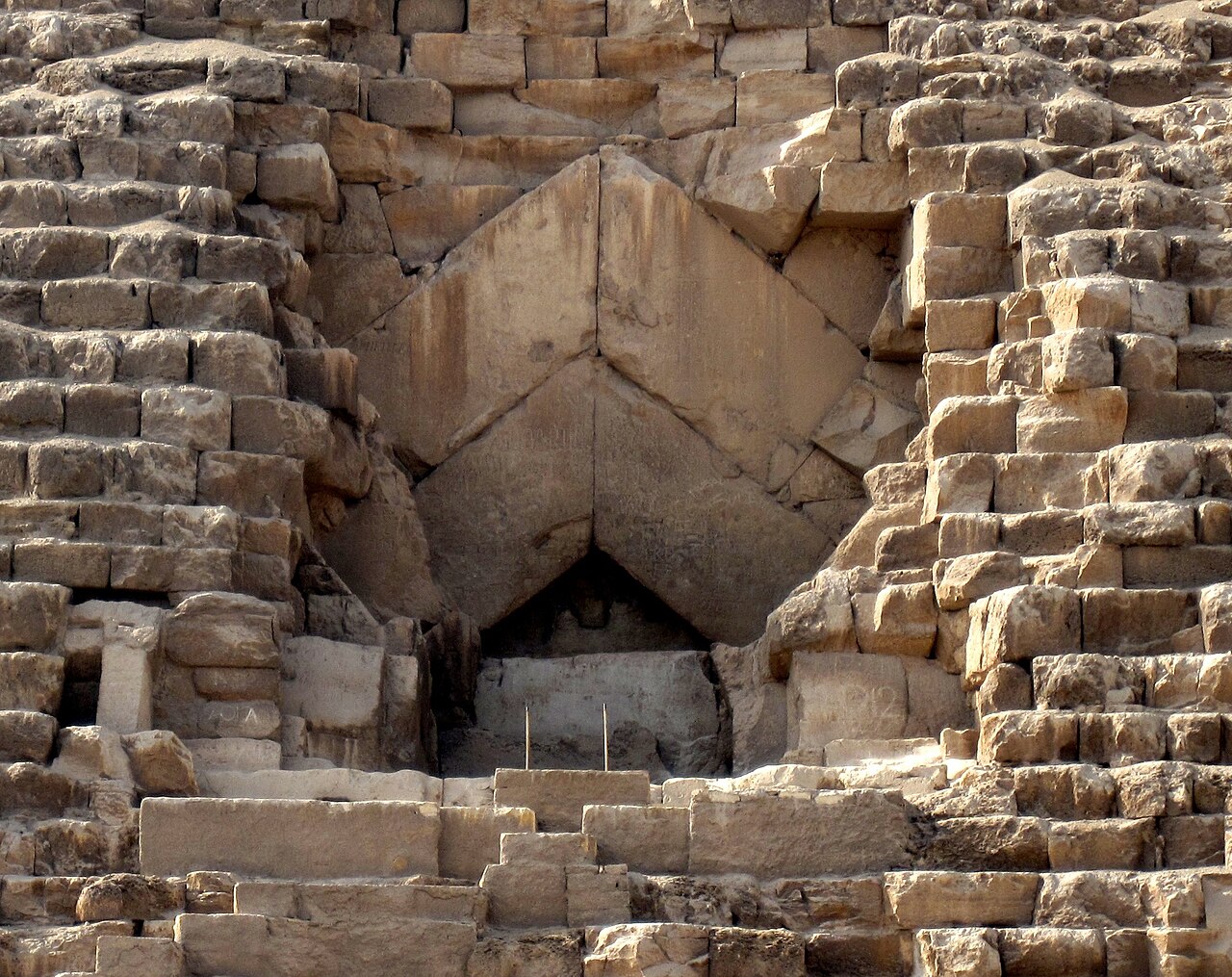
Walk one connected route. Inspect twelve evidence points. Learn what is measured, reconstructed, disputed, or still unknown.
There is no score or failure. Optional evidence can be skipped. Progress saves in this browser.
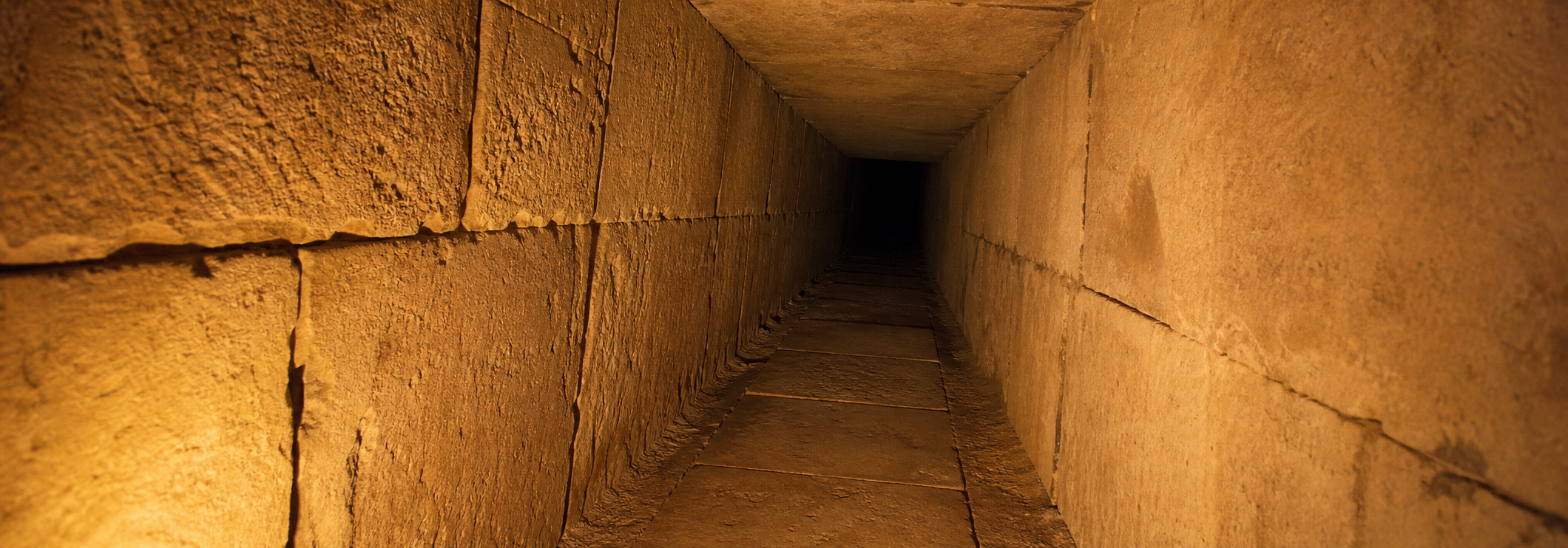

A clearance-aware portal graph validates every authored room, passage junction, doorway, floor transition, and six-foot visitor route. Petrie's survey table anchors the approximately 0.52 m final floor step in the Queen's Passage. The optional 63–1000 Hz sound display uses a first-order image-source approximation for early reflections. It is an interpretive geometry aid, not evidence that Khufu's builders designed an acoustic machine. A published 2.3 Hz Queen's Chamber result is an ambient structural-vibration measurement and is deliberately not reproduced by the ray model.
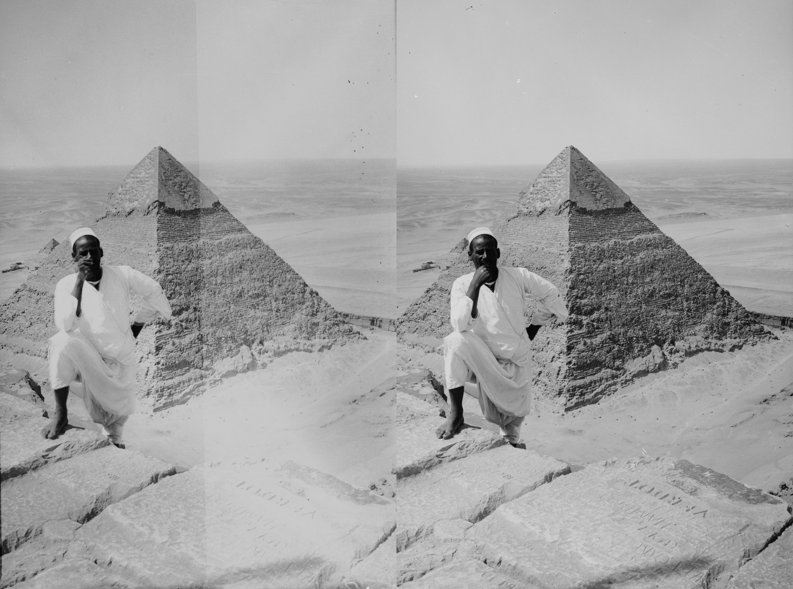
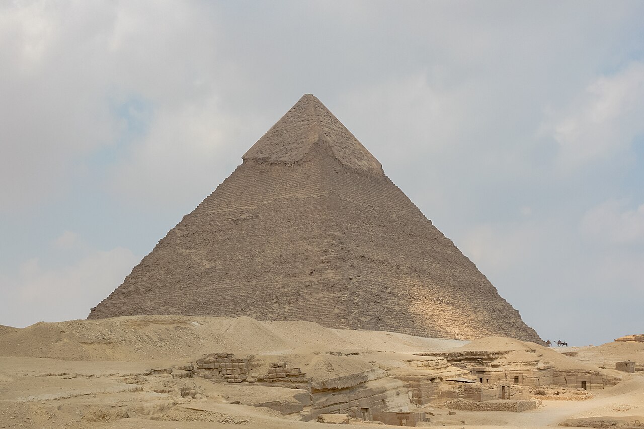
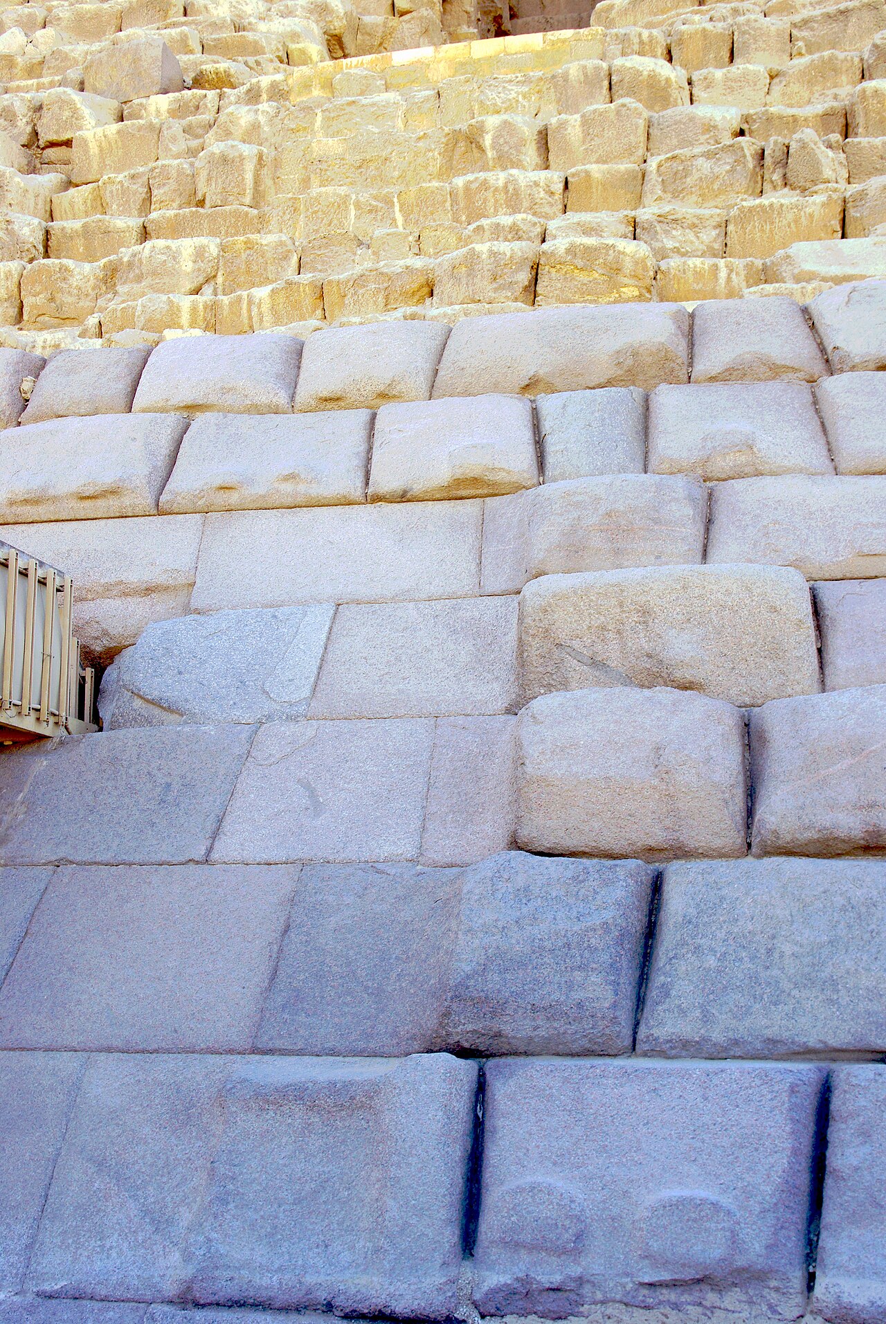
Petrie: Queen's Passage survey tableRecast: voxel-navmesh comparisonAllen and Berkley: image-source acousticsScientific Reports: ambient structural vibrationScale and known rooms follow published surveys and Egypt's Ministry of Tourism and Antiquities. Present shells stop at their surviving heights: Khufu 138.5 m, Khafre 136.4 m, and Menkaure about 61 m. Khafre retains its connected upper Tura-limestone casing. Menkaure's present mode retains a photo-calibrated seven-course granite remnant; its reconstructed original casing uses the documented Aswan-granite lower quarter and limestone above.
Egyptian Ministry: KhufuEgyptian Ministry: KhafreEgyptian Ministry: MenkaureKhufu entrance photograph and licenseKhafre exterior photograph and licenseMenkaure granite photograph and licenseExposed-block photograph and licenseHistoric summit photograph and licenseThe Big Void and North Face Corridor are represented as unexcavated spaces detected through cosmic-ray muons.
Nature: Big VoidNature Communications: North Face CorridorThe deep chamber network follows Biondi and Malanga's proposed topology. It has not been archaeologically verified and remains disputed.
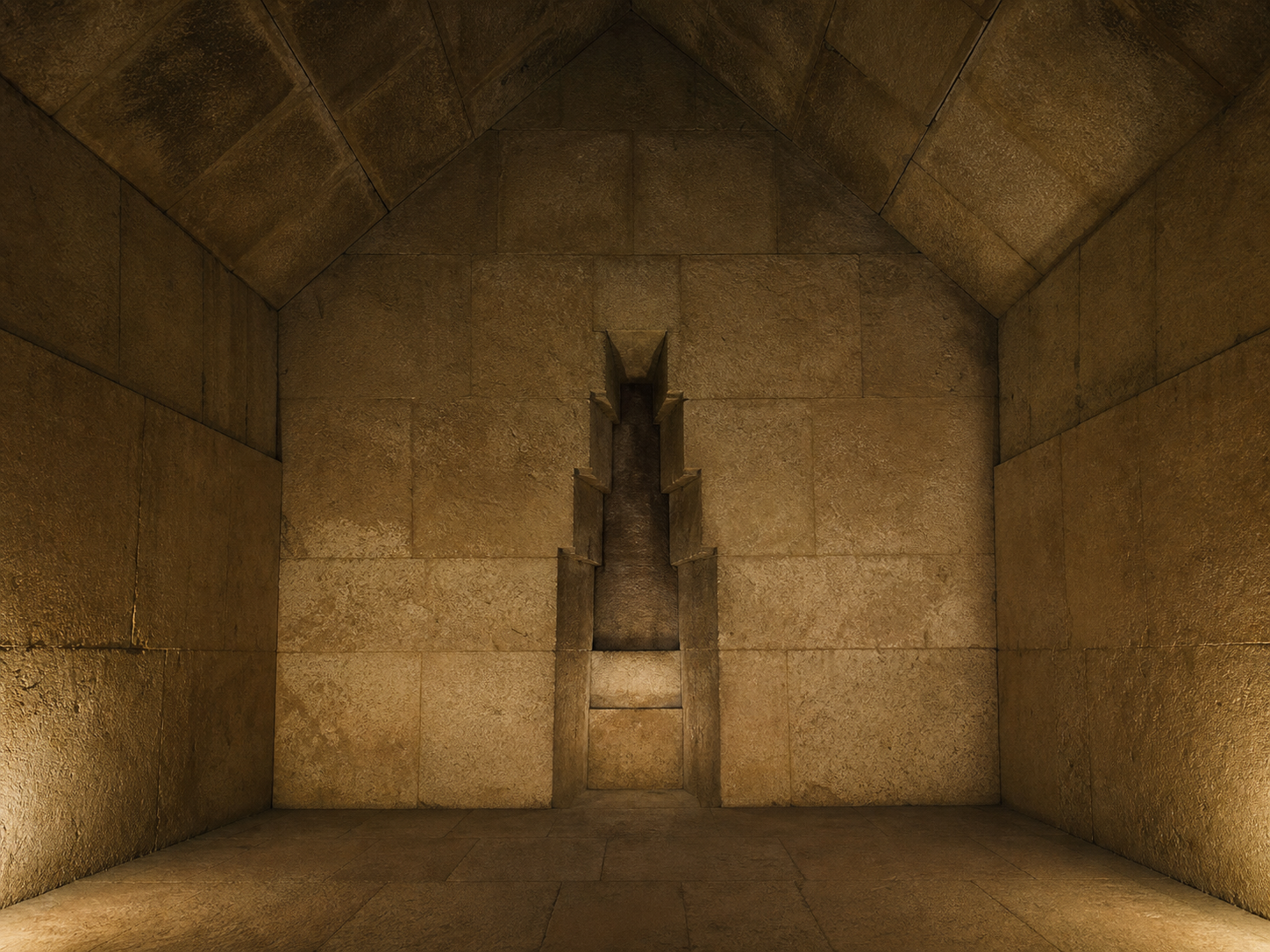
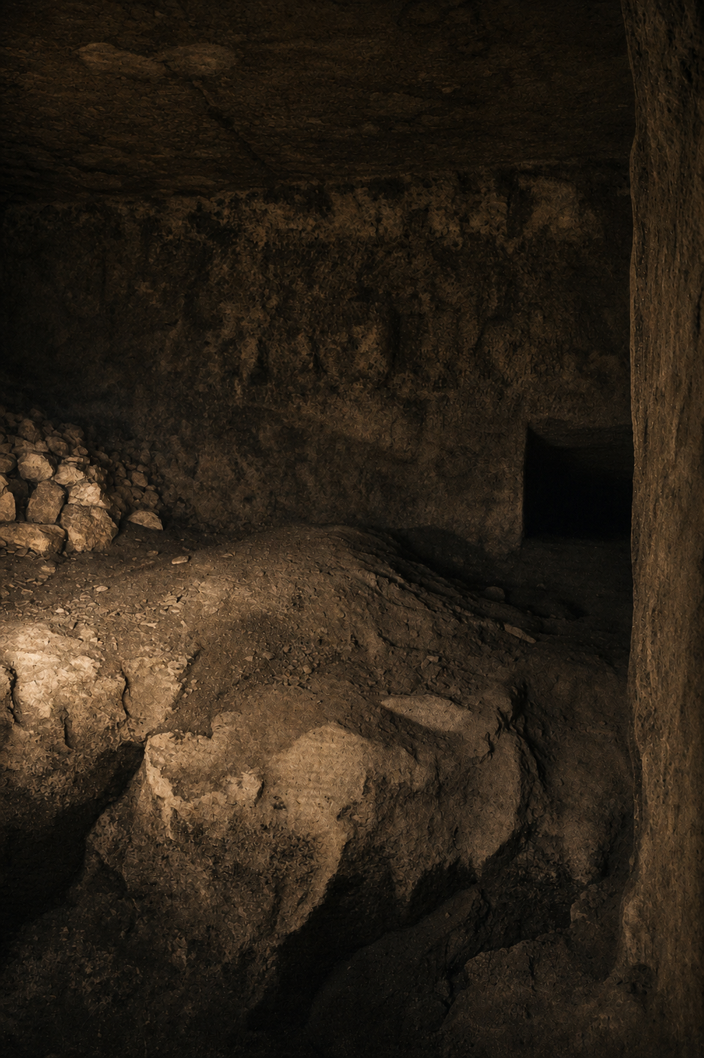
Read the SAR paperAuthors' presentationEach generated plate is grounded in a space-specific documentary photograph. Modern rails, tourists, flash, and labels were removed; no decoration was added to documented Khufu chambers.
Wikimedia Commons interior recordsSmithsonian: Subterranean ChamberScanPyramids endoscope recordThe accessible Giza royal-pyramid interiors had no formal Pyramid Text program. Red marks in the construction chambers above Khufu's King's Chamber are builders' quarry and work-gang marks, not decorative wallpaper. The catalog transcription Ḫwfw uses Gardiner signs Aa1 · G43 · I9 · G43; it is a normalized reading, not a facsimile. On Met 22.1.25, “Horizon of Khufu” is a bracketed scholarly restoration of a damaged building inscription. Missing signs are never AI-completed for display.
Exhibit glyph catalog and display policyHarvard Digital Giza: Khufu recordThe Met: fragment 22.1.25Goedicke: published fragment studyPerring and Birch: construction marksHawass: Pyramid Texts begin under UnasSmarthistory: Pyramid Text chronologyUnicode: Gardiner sign/code-point listUnicode: direction and layout rulesPresent topography is a local WGS84 crop of USGS/NASA SRTMGL1. Pyramid radar returns are removed only inside engineered foundations. Temples, causeways, subsidiary pyramids, boat pits, cemeteries, the Sphinx, and workers' precinct follow the Harvard Digital Giza inventory; lost fabric is labeled interpretive.
USGS: SRTM 1 Arc-Second GlobalHarvard Digital Giza: Royal Pyramid ComplexesHarvard plan: General plan of GizaHeyday mode reconstructs the active Khufu Nile branch as a wetland, cultivated floodplain, and riparian mosaic—not a tropical rainforest. The sediment-core study groups pollen as helophytes, sedges, date-palm/willow, cereals, tropical Nilotic taxa, upland herbs, and ferns. Those groups support the broad ecology; exact plants, density, shoreline, canals, and field boundaries remain interpretive.
PNAS: Khufu branch pollen reconstructionCommunications Earth & Environment: Ahramat BranchStatic Three.js r185, Blender 5.1 component builds, CC0 ambientCG and Poly Haven surfaces, built-in image generation, and procedural Web Audio. Designed and directed by Eric Rhea.
The plateau remains open. Revisit any stop, switch eras, or descend again.
You followed the documented route, separated surviving evidence from reconstruction, and preserved the questions the architecture cannot answer.
No score was awarded. The result is a sourced field record you can review or expand.